


The Bayswater Brook
The Bayswater Brook runs westwards from near Forest Hill and eventually joins the River Cherwell at Sescut Farm to the east of Cutteslowe: see its course marked in red below.
Until 1881, the boundary of Headington swept north of the Bayswater Brook to include Wick Farm, Stowford/Stafford Farm, and Barton Farm (now renamed Lower Farm), but today the part of this brook to the west of Bayswater Road marks the northern boundary of Headington. Since 1975 this has not only formed the boundary between Headington and (1) Beckley & Stowood parish to the east and (2) Beckley parish to the west, but it also divides the City of Oxford from the Green Belt land of South Oxfordshire District Council, so that the land immediately on the other side of the brook is (rather unexpectedly) in the parliamentary constituency of Henley.
In 1298 when there was a perambulation to establish the boundary between Shotover Forest and Headington, beginning at Sescut Mill by the River Cherwell (“Incipit ad molendinum quod vocatur Sotelescote mulle”) and then “usque Edenebroke”. Headington was originally known as Hedena's Dun, and evidently the Bayswater Brook was then named Edenebroke, or Hedena's Brook.
Robert Plot in 1676 gave the name of the Bayswater Brook in Headington as Bayard's Watering Place. (A bayard was originally a bay horse, but came to be used as a mock-heroic name for any horse.)
1. Forest Hill to the Bayswater Road
The brook starts just north of the A40, near the Church Hill turn-off to Forest Hill, and runs along the northern edge of Sandhills.
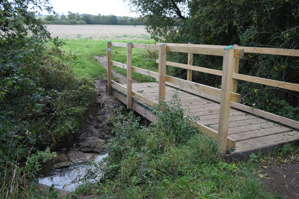
This bridge over the brook (replaced in 2020) is part of the footpath from Forest Hill to Sandhills:
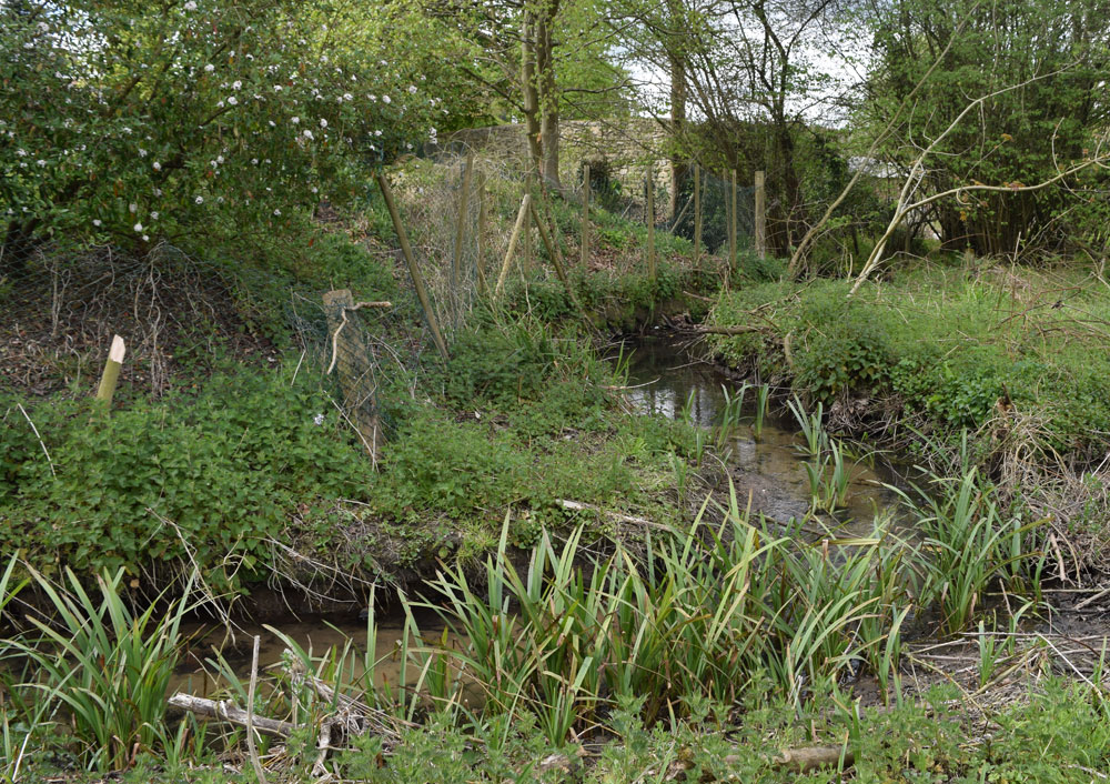
The photograph below, looking east, shows the brook just before it reaches Bayswater Mill. This mill probably already operated here at the time of the Domesday Book, and survived until 1898.
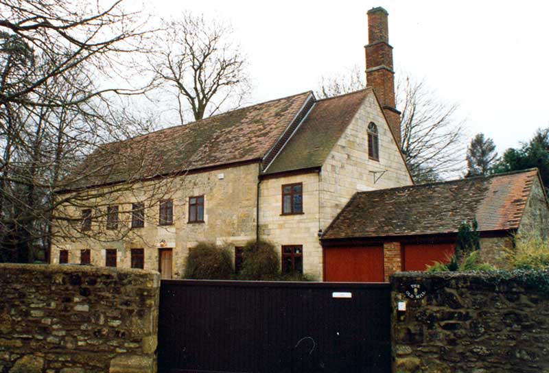
The former mill, shown below, is now a private house:
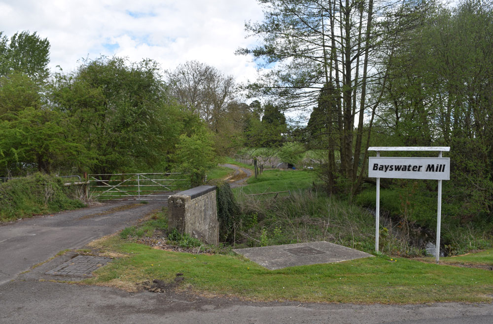
After passing the mill, the brook continues to the south of the 29 homes in the Bayswater Mill site that are run by Buswell Parks, and passes under the farm path shown below just before it reaches the Bayswater Road:
The brook then passes under the big bridge that takes heavy traffic over the Bayswater Road:
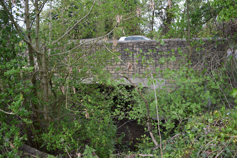
Responsibility for this bridge devolved on Oxfordshire County Council following the expiration of the Stokenchurch, Woodstock, and Islip Turnpike Trust in 1878, and they rebuilt it in 1880.
There was a Roman settlement in this area in the third and fourth centuries AD, and during housing development in the 1940s sixteen Roman coins were found 300 yards to the south of this bridge in a 100-yard stretch each side of the main road.
2. Bayswater Road to the Marston flyover
The brook crosses the Bayswater Road under a bridge. At the time of the 1298 perambulation this bridge was named after the nearby hamlet of Stowford (“Usque ad pontem de Stoford”).
The brook then winds its way along the northernmost edge of Barton:
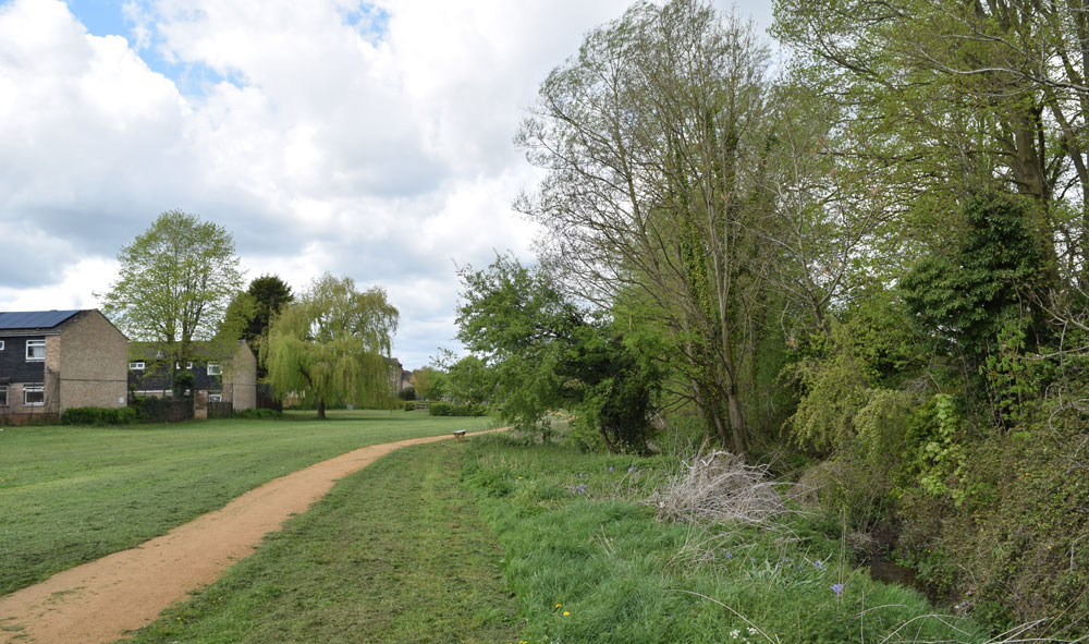
A little further on, the footbridge over the Bayswater Book shown below leads to a long straight footpath that passes northwards all the way up to the B4027 at Beckley. (It is also possible to turn off to the left near the top to visit Sydlings Copse.)
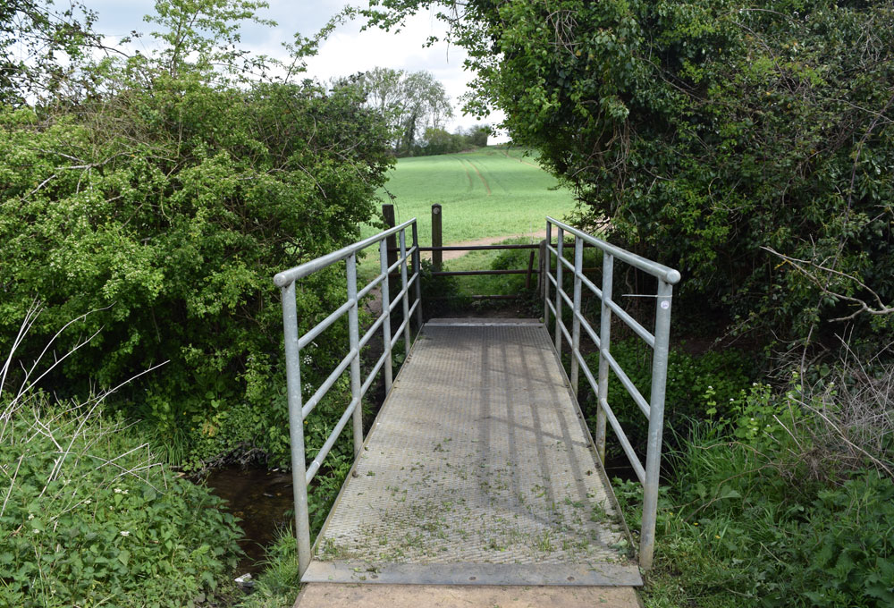
Continuing westwards, the original footpath runs alongside the brook and reaches some grass leading straight on to Barton Village Road. Immediately on the north side of the road is this bridleway passing over the brook and leading to the Buswell Park housing site and Wick Farm.
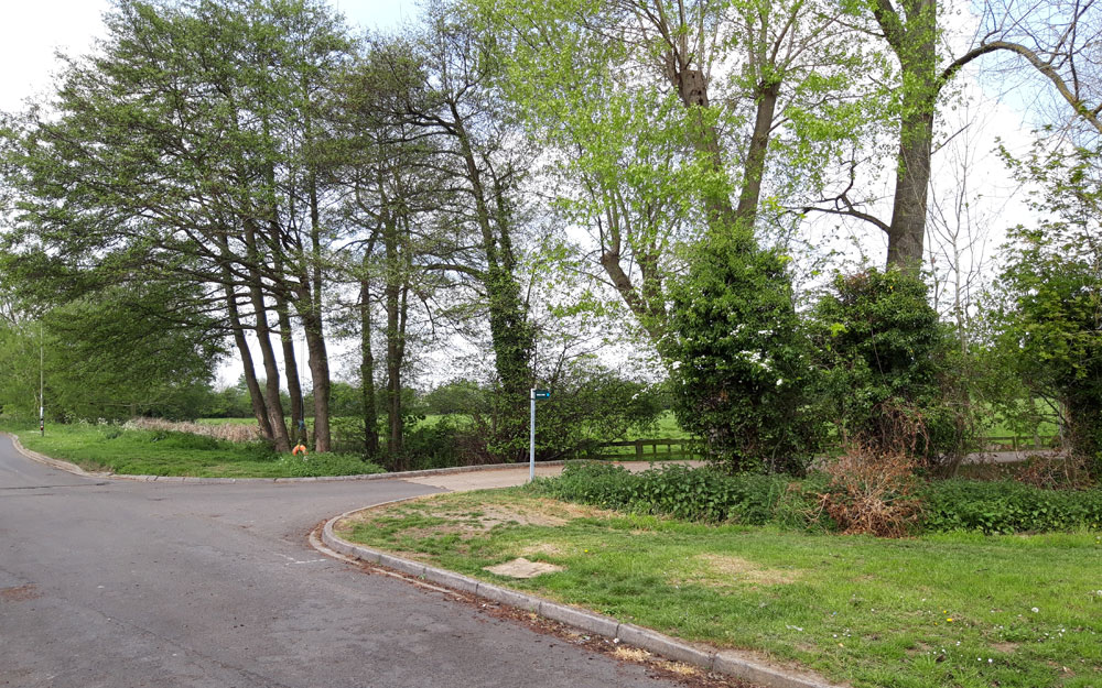
Llewellyn Jewitt, an amateur archaeologist and brother of the famous wood-engraver Orlando Jewitt, lived in St Andrew's Lane in Old Headington, and in 1849 he discovered the remains of a Roman villa just to the north west of Wick Farm, on ground sloping southwards to the Bayswater Brook. Orlando's collaborator, William Reynolds, lived at Barton Manor, and his son George died at the age of nine on 1 April 1855 after a short illness, allegedly caused by drinking water from the Bayswater Brook.
In 1953 three intact Romano-British pots were recovered from the brook.
The brook continues westwards at the point where Barton Village Road turns north, and the footpath continues westwards alongside the south side of the brook. For a short distance it is part of the private road towards Lower Farm (formerly called Barton Farm), shown below:
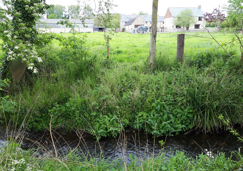
It then becomes a footpath again, running to the north of the new Barton Park development and forming its northern boundary. This footpath can get very overgrown, and it is easier to take the modern footpath through the Barton Park development.
All the land in the Green Belt immediately to the north of the brook
from the Bayswater Road to the Marston flyover is now owned by Christ Church,
which has received planning permission for a massive development here.
3. Barton Park to the Marston flyover
The brook then continues on its journey, travelling diagonally through private land to meet the Northern Bypass. It then runs along the north side of the bypass, as shown below, but there is no footpath here, so it is not safe to walk along it at this point:

When the footpath beside the brook comes to an end, if you want to continue following the brook further, you can continue walking along the same footpath through Barton Park to the end and then cross the bypass to Northway. You can then walk westwards along the cycle track to the Marston flyover and cross back to the north side of the bypass to pick up the road to Woodeaton.
Below: the bridge over the Bayswater Brook at Barton Park leading to two footpaths: to Elsfield on the left, and to College Pond on the right:
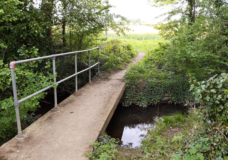
An ancient footpath running southwards across the bypass to Old Headington has been preserved through the Barton Park development to the south of the above bridge. It is marked by railings and then a wooden enclosure beside the electricity substation. It is possible to cross the bypass fairly safely here as the traffic stops periodically at the Barton Park traffic lights and also at the Green Road roundabout traffic lights. After crossing the bypass, the route continues along a bridleway up to Stoke Place.
4. Marston flyover to the River Cherwell
Just before the Marston flyover, the brook runs diagonally north-west over private land for a short distance and then reaches the east side of the road to Woodeaton. It then runs in a north-west direction alongside that road, and can be followed easily here:

After a considerable distance running beside this road leading to Woodeaton,, it turns left and passes under it. It then runs through private farmland (Sescut Farm) until it joins the River Cherwell.
The Bayswater Brook is judged here by the Department for the Environment as having poor ecological status and is polluted by hazardous substances (mercury, perfluorooctane sulfonate, and polybrominated diphenyl ethers).
National Library of Scotland maps
(accept cookies and then you can drag the map to follow it to the end of its journey)
The Bayswater Brook in 1876 (side-by-side with the current view)
